Despite LA’s reputation as a car city, it’s surprisingly easy to be happily car-free in West Hollywood.
Exploring West Hollywood by Foot or Bike
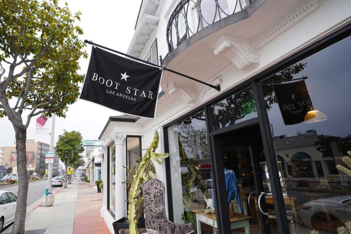
West Hollywood may be compact, but its iconic neighborhoods offer personality in spades. Within just a few blocks, visitors can people-watch along the legendary Sunset Strip, browse the stylish boutiques of the West Hollywood Design District or explore the lively restaurants and nightlife along Santa Monica Boulevard, West Hollywood’s stretch of historic Route 66.
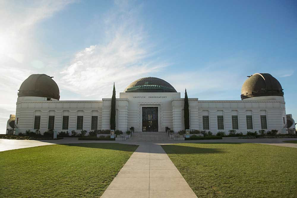
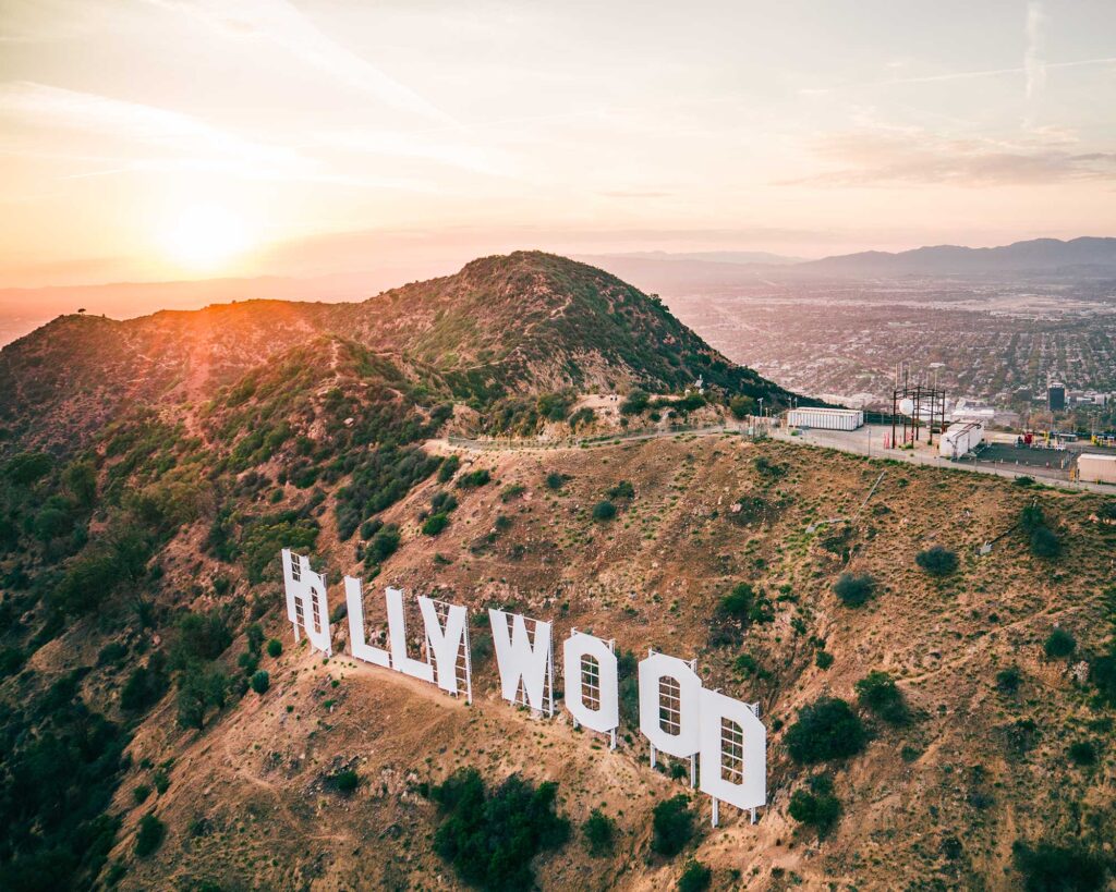
A popular way to explore the area is with Bikes and Hikes LA. Visitors can rent an e-bike, city bike or road bike to sightsee on their own, or join a guided tour — from a three-hour cruise around Beverly Hills to a five-hour “LA in a Day” tour that starts in West Hollywood and wheels through Beverly Hills, Bel Air, Santa Monica, Venice, Marina del Rey and Culver City. Prefer to explore on foot? The company also offers guided hikes to the Hollywood Sign and Griffith Observatory.
Another entertaining option is Rock ’n Walk Tours with Jon D’Amico, a musician and longtime West Hollywood local. His walking tour covers WeHo’s rock ‘n’ roll history, from Santa Monica Boulevard to the Sunset Strip — with plenty of “PG-13” tea spilled along the way.

Self-Guided Tours
West Hollywood is packed with history and architectural landmarks, and the city has worked hard to preserve its cultural heritage. One of the best ways to experience it is on a free, self-guided walking tour, like one of these:
- Harper Avenue Historic District Tour: Visit some of West Hollywood’s most historic and significant sites, from Mediterranean Revival buildings capped with red-clay tile roofs to Spanish-style villas that have appeared on the big screen.
- Old Sherman Walking Tour: Peel back the curtain for a glimpse of West Hollywood’s earliest days, when the community was known as Old Sherman at the turn of the 20th century.
- Legendary Sunset Strip Hot Spots, Past & Present: Walk the length of Sunset Boulevard in West Hollywood to see the clubs, hotels and hangouts that have played an integral role in The Strip’s rocking legacy — and the new spots carrying that spirit forward today.
- West Hollywood Movie Landmarks Tour: Follow this guide to famous filming locations and places sparkling with silver-screen lore.
Bus Tours of Hollywood & Neighboring Areas
For visitors who would rather sit back and gaze out the window, an easy sightseeing option is the Starline Tours Hop-On Hop-Off Bus. These open-air buses run between many of Los Angeles’ major destinations, including West Hollywood, Hollywood, Santa Monica, Downtown Los Angeles and Venice Beach. Visitors can hop on and off throughout the day while exploring at their own pace.
Check out more top-rated tours in and around West Hollywood.
Taxis & Ridesharing
For quick trips around town, rideshare services, taxis and even autonomous vehicles are widely available throughout West Hollywood. Certain hotels also offer car rentals, chauffeur services and house cars available within a set radius, including 1 Hotel’s Audi e-tron. Learn more about how to get from point A to point B with our handy transportation guide.
Take the Scenic Route: Public Transportation In West Hollywood
Public transportation is another convenient way to explore the city without driving. West Hollywood is served by the Los Angeles Metro system, which connects to destinations across the city and operates its own free shuttle service called Cityline.
The Cityline Local route generally follows Santa Monica Boulevard between Cedars-Sinai Medical Center and La Brea Avenue, with stops throughout West Hollywood. Shuttles run approximately every 30 minutes, Monday through Saturday from 9 a.m. to 5:30 p.m., and are ADA accessible.
Cityline also offers a commuter shuttle, which connects West Hollywood with the Los Angeles Metro transit system. It runs directly along Santa Monica Boulevard from the West Hollywood Library to the Hollywood & Highland Metro Red Line Station. Cityline Commuter shuttles run approximately every 20 minutes, Monday through Friday from 7 a.m. to 9 a.m., and Monday through Saturday from 5 p.m. to 8 p.m.
View route maps and schedules on the City of West Hollywood website.
WeHo PickUp: Your Ticket to West Hollywood Nightlife
For visitors looking to experience West Hollywood’s famed nightlife scene, the WeHo PickUp is a free weekend trolley designed to make bar-hopping easier and safer. The route runs along Santa Monica Boulevard between Robertson Boulevard and La Brea Avenue, with shuttles arriving roughly every 15 minutes and stopping every two to three blocks.
Service typically runs:
- Friday and Saturday: 8 p.m.–3 a.m.
- Sunday: 2 p.m. –10 p.m.
Los Angeles Metro: Getting to Popular LA Attractions
With its central location, West Hollywood makes a convenient home base for exploring the rest of LA by public transportation. The Los Angeles Metro system includes bus, light rail and subway lines. Buses run frequently along Santa Monica Boulevard and Sunset Boulevard — West Hollywood’s main east–west thoroughfares — making it easy to reach destinations across Los Angeles.
Whether you go by bus, rideshare or taxi, West Hollywood puts you within easy reach of LA’s most popular attractions — here’s a quick look at approximate distances:
- Hollywood Walk of Fame: 2.3 miles / 3.7 kilometers
- Griffith Park & The Greek Theatre: 4.8 miles / 7.7 kilometers
- Universal Studios Hollywood: 5.2 miles / 8.4 kilometers
- Griffith Observatory: 7.7 miles / 12.4 kilometers
- Dodger Stadium: 7.8 miles / 12.6 kilometers
- Crypto.com Arena & Downtown Los Angeles: Distance: 9.3 miles / 15.0 kilometers
- SoFi Stadium: 11.7 miles / 18.8 kilometers
- Santa Monica & the Beach: Distance: 11.3 miles / 18.2 kilometers
- Venice Beach: 12.8 miles / 20.6 kilometers
—
From strolling the Sunset Strip to hopping a bus to the beach, exploring West Hollywood and Los Angeles without driving is easier than many visitors expect. With walkable neighborhoods, convenient transit connections and lots to see along the way, it’s one of the best ways to experience LA — no car keys required.
Updated from an earlier article by Tracy Pattin.